UCLA Library
ArcGIS, QGIS or web apps can simply use this map with web map services. WMTS, TileJSON or XYZ tiles are provided for quick access to processed maps.
Sign in to get links.
Sign in to download GeoTIFF.
Overlay & compare
iiif viewer, iiif info json
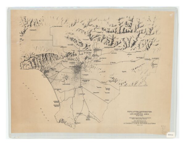
Population distribution in the Los Angeles area as of 1910
21198_zz002b1qm4
California
Map prepared by the Engineering Department, Automobile Club of Southern California.|
1938
Automobile Club of Southern California. Engineering Dept.
The Department
56 × 72 cm