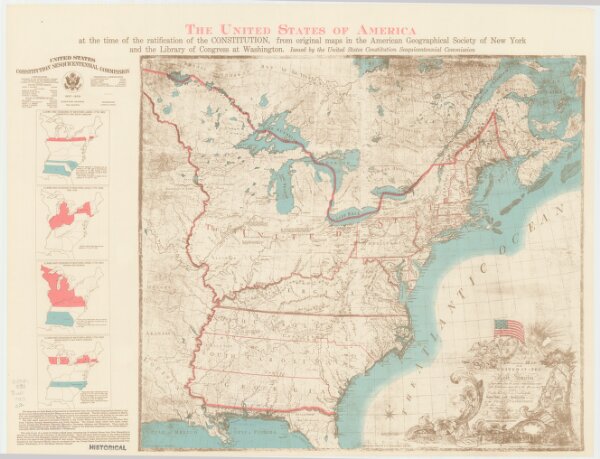
The United States of America at the time of the ratification of the Constitution, from original maps in the American Geographical Society of New York
ArcGIS, QGIS or web apps can simply
use this map with web map services.
WMTS, TileJSON or XYZ tiles
are provided for quick access to processed maps.
Sign in to get links.