UCLA Library
ArcGIS, QGIS or web apps can simply use this map with web map services. WMTS, TileJSON or XYZ tiles are provided for quick access to processed maps.
Sign in to get links.
Sign in to download GeoTIFF.
Overlay & compare
iiif viewer, iiif info json
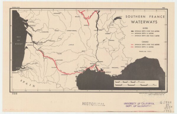
Southern France, waterways
21198_zz002cfjk0
Europe
Provisional ed. "Map no. 2344." "18 May 1943."
1943
United States. Office of Strategic Services. Research and Analysis Branch
[Washington, D.C.] : R & A, OSS
15 × 29 cm
1 : 3400000