UCLA Library
ArcGIS, QGIS or web apps can simply use this map with web map services. WMTS, TileJSON or XYZ tiles are provided for quick access to processed maps.
Sign in to get links.
Sign in to download GeoTIFF.
Overlay & compare
iiif viewer, iiif info json
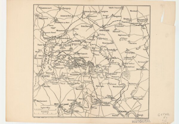
Map showing front lines around Bapaume, France, in 1916 Fron Line 1916
21198_zz002cfhbw
Europe
Fron Line 1916
1917
H. & C. Graham Ltd. Lithrs.
London : Stanford's Geogl. Estabt.
29 × 39 cm
1 : 885000